Land Surveying
With our own in-house survey crews located throughout the Western United States, we are uniquely able to collaborate on and expedite projects.
Value Engineering happens when the field and office are in sync.
Our licensed surveyors utilize the latest in mapping technology innovations, including 3D photographic imagery and drone/aerial mapping and photography.
Featured Land Surveying Projects
Seal Beach, CA
The Pacific Gateway Business Center is a historic aerospace installation located in Seal Beach, CA. TAIT provided consulting and design leadership in the redevelopment of this iconic project.
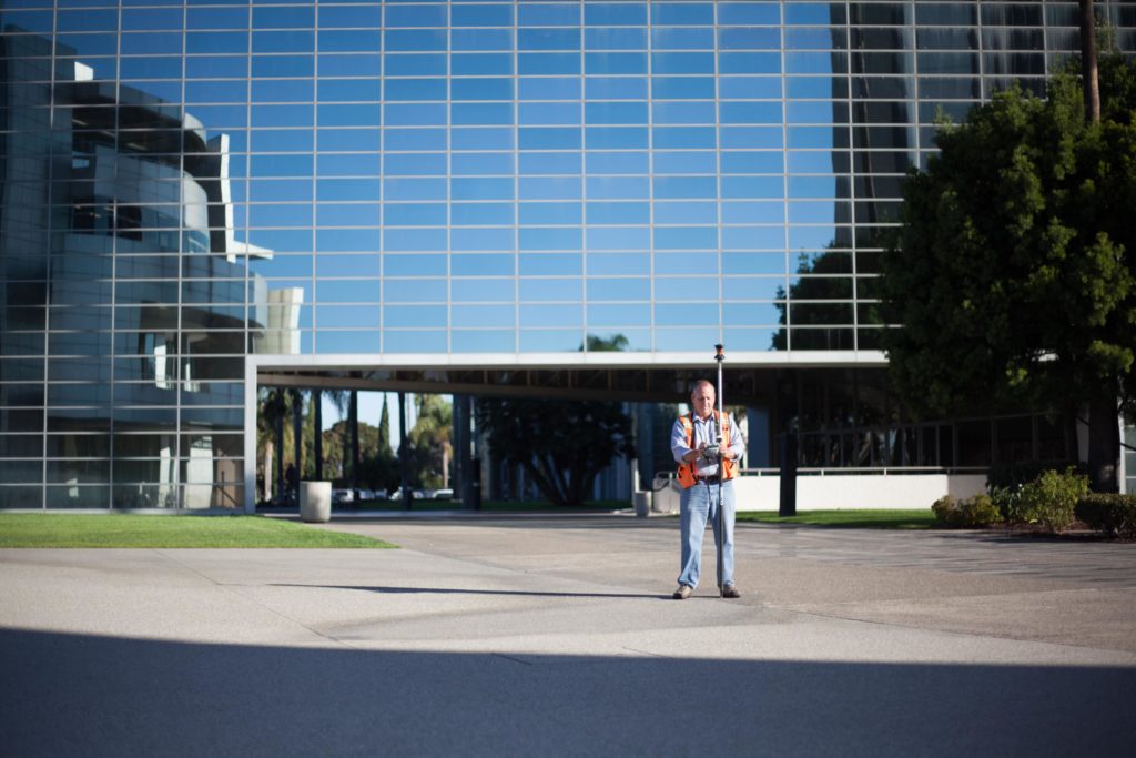
Solano County, CA
Travis Air Force Base is a United States Air Force base located in Solano County, CA. TAIT was contracted to provide surveying services for the 900 acre site.
Orange, CA
St. Joseph Hospital in Orange County, CA is the 10th largest not-for-profit health system in the United States. Since 1993, TAIT has provided civil engineering and surveying services to large scale projects and upgrades on this state of the art facility.
Huntington Beach, CA
The up and coming luxury hotel called Pasea Hotel & Spa is set to be a dominant attraction for tourists to Huntington Beach’s ocean view by the pier. Prepared by TAIT’s expert civil engineering design services, it will offer eight stories totaling in 250 rooms, all with views of the shore break, community event lawn, ballroom and meeting room space, a spa, outdoor pool, and restaurants, including one on the roof. The site will also provide a two-story subterranean parking structure to accommodate guests.
Monterey Park, CA
TAIT designed a sprawling new 41 acre retail development within the City of Monterey Park, anchored by Home Depot and Costco. The design included slope stabilization, retaining wall design, street improvement design, utility installation, overall site development, and over 400,000 cubic yards of dirt removal and re-grading for this extensive construction.
La Habra, CA
Skylark offers contemporary three-story attached new homes in the northwest corner of Orange County. The new housing community features open-concept floorplans ranging from 1,970 to 2,121 square feet. The homes include spacious master suites with dual vanities, and main-level bedrooms with full baths. TAIT provided civil engineering and surveying for this new community from concept to completion.
Tustin, CA
The Tustin Metrolink Station in Tustin, CA recently underwent a redevelopment and expansion valued at over $17 million. TAIT was on a team that provided civil engineering design, utility design, and survey/mapping services for expansion which included the addition of a 5-story parking structure.
California
TAIT has been the Regional Core Contractor for over 120 new 7-Eleven sites in Southern & Northern California over the past year, providing a full range of Program Management, Architecture, Civil Engineering, and Permitting & Entitlements services for each site from concept to completion.
Redlands, CA
The Redlands Packing House District is set to be a premiere shopping center at the entrance to downtown Redlands, CA. It is an 88,075 square-foot development featuring stylistically historic brick building packing house design with a variety of retail and restaurant tenants, including Sprouts Farmers Market as an anchor. The center is in close proximity to other main Redlands attractions, such as the up and coming Krikorian Theater. TAIT provided site, civil, and survey engineering for the District from concept to completion.